Search Results for 'GIS'
3 results found.
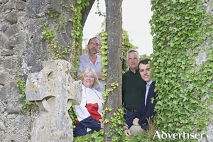
Galway County Council digitally maps the heritage of over 25,000 memorials

Esri Ireland, the market leader in geographic information systems (GIS), has announced that Galway County Council has digitally mapped over 25,000 memorials, monuments, and gravestones using Esri’s ArcGIS system.
Digital Transformation Award for Galway graveyards project

Galway County Council has picked up one of the main accolades at the Public Sector Digital Transformation Awards 2023 for its innovative digital project that mapped over 40,000 graveyard memorial records across County Galway and made them publicly available online.
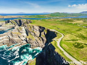
Wild Atlantic Way used as research model for sustainable coastal tourism in Europe

The Wild Atlantic Way has been used as a research model to establish best practice for the development of marine and coastal tourism trails in the EU without having a detrimental effect on local communities or the environment.

