Search Results for 'Bay of Galway'
1 results found.
The canal
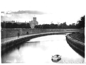
In 1872, SU Roberts, the Galway County Surveyor, wrote: “The lower lake empties its waters through a delta by three visible outlets: the natural and original shallow, tortuous and rocky Corrib River, navigable for only very small craft and row-boats on the west; the Mionloch Creek, a small stream, on the east and now nearly filled up; and through the boggy island covered with sedge between these two, by means of the “Friar’s Cut”, a canal of about three-quarters of a mile in length, fifty feet wide and twelve deep through the main stream passes. Besides these three streamways, there is a subterranean communication through the cavernous limestone, by means of ‘swallow holes’ near Tír Oileáin on the eastern shore which formerly carried off a large portion of the surplus waters of the lake, and discharged them into the sea near Oranmore”.

