Search Results for 'Alexander Nimmo'
11 results found.
Nimmo’s Pier and 'The Swamp’
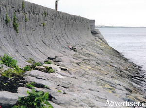
In 1822, the harbour of Galway was very defective with only one small dock, now known as ‘the mud dock’, and two small jetties on the Claddagh shore. The outflow of the river was too great to allow sailing boats to enter safely at low tide. They had to wait outside on the roads for high tide, and even then, the entry could be tricky when the wind was strong. The merchants of Galway petitioned the Lord Lieutenant in 1820 to make improvements and he forwarded their request to Nimmo.
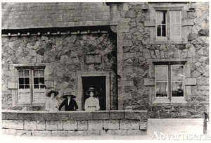
The lock keeper’s house
The Eglinton Canal was a work of great utility both in terms of draining and regulating the surplus waters of the lake and permitting ingress from the sea. The lower lake used to empty its waters through a delta by three visible outlets into the sea; The natural and original shallow tortuous and rocky Galway River, navigable only for very small craft and row-boats; The Mionlach creek, a small stream nearly filled up; “The Friar’s Cut”, about three quarters of a mile in length, fifty feet wide and twelve feet deep.
The age of sail
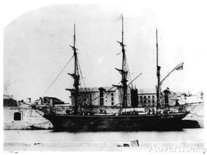
“A river mouth opening upon one of the finest natural harbours would seem to offer an ideal situation for a town or trading station.” These were the first words written in Professor Mary Donovan O’Sullivan’s very important history Old Galway, which would indicate her surprise that such a fine location would not have attracted a Norse settlement. Water, in the form of the sea, the river and the many streams, was a major factor in the development of the town of Galway from when the Anglo Norman invaders settled and built their castle and town.
Roundstone’s Hidden Heritage conference draws capacity crowd to mark milestone
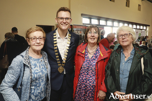
The Roundstone Community Centre buzzed with excitement last week as it hosted the Roundstone’s Hidden Heritage 1824 - 2024 Conference, an event that saw people from all parts of the county and the local community gather in remarkable numbers to celebrate a significant bicentennial milestone.
Free buses for Roundstone’s Hidden Heritage conference
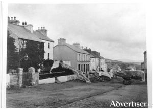
A conference commemorating Alexander Nimmo’s founding of Roundstone and Hely Dutton’s Statistical Survey of Galway will be held next week. The event on Wednesday July 24 at Roundstone Community Centre, Roundstone, Co. Galway H91 C99W is titled Roundstone’s Hidden Heritage, 1824-2024.
Pier-ing over the Edge - Festival honours the visionary Patrick McCabe
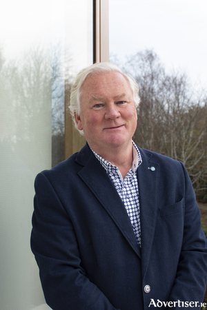
The west of Ireland’s annual Architecture at the Edge festival will include recognition of a high-profile Galway city architect who passed away suddenly in 2021.
Steamer’s Quay
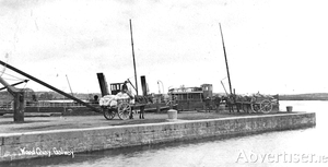
Alexander Nimmo made a survey of Lough Corrib almost 200 years ago in which he wrote the following: “The lake has 50 miles of shore, occupies 30,000 Irish acres and contains 1,000 acres of arable land in its isles, and contracts into a very spacious river about two and a half miles above Galway, which, flowing by the town, communicates with the Atlantic. The fall from the summit of the lake to the sea is considerable, but to the Wood Quay, above the town, it is trifling, and the river is in parts very shallow, running over a bed of rocks and hard gravel. It is not navigable from the sea to the Wood Quay owing to its shallowness and the rapidity of the water, and none but small boats can come down; but unless in very dry seasons, it is thence navigable by boats drawing four feet of water and carrying from ten to twenty tons, with one square sail and four men, to Cong. They seldom sail, unless before the wind, and though the lake has many islets and sunken rocks, the only serious difficulty in navigation is at Buachally Shoal about four miles up the lake, and at Newcastle. These shoals could be deepened for a small sum and the whole made to admit vessels of much greater magnitude. The fine navigation which extends about 30 miles, and into a seaport town, seems to deserve more attention than it has yet received. A good chart with soundings and sailing instructions should be published, the shoals or rocks cleared or beaconed, and a communication opened with the sea.”
Corruption, abuse of power and mismanagement in public office
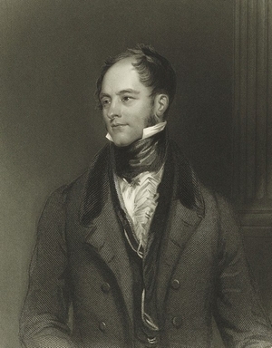
One does not have to dig very deep into the archives to find evidence of wholescale corruption, pervasive nepotism, and general theft of public monies by public representatives and officials in nineteenth-century Mayo.
‘One of the most extraordinary persons’ Maria Edgeworth ever met

As the legendary Colonel Richard Martin neared the end of his life in Boulogne, where he had fled to escape his numerous creditors, a large four-horse carriage, on which two postilions, in jackets of dark-blue frieze, guided the coach on horse-back, arrived at the front door of Ballynahinch. It was dark, and its occupants were in a state of near exhaustion.
‘Ireland will be poor no longer’
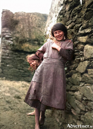
From the comforts of Ballynahinch, such as they were at the time, William Makepeace Thackeray continues his exploration of the surrounding countryside as he gathered information for his successful Irish Sketch Book published some years after his tour in 1842.

